27 Apr 2013, Three days in Port Royal, 32 23.724 N/ 080 40.794 W
|
|
|
|
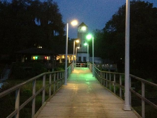 We entered the Port Royal Sound well before daylight. The
channel was well lit but the chartplotter really helped distinguish the
different buoys. Sunrise came about half up the Sound to Port Royal
Landing marina. We arrived at the marina at 0745. A commercial boater
helped us with our lines and we were set. SV Endaxi recommended this
place and we were glad that they did. Very friendly crew with courtesy
car, cruiser's lounge, ships store, easy tie-ups and frequent pot lucks. We entered the Port Royal Sound well before daylight. The
channel was well lit but the chartplotter really helped distinguish the
different buoys. Sunrise came about half up the Sound to Port Royal
Landing marina. We arrived at the marina at 0745. A commercial boater
helped us with our lines and we were set. SV Endaxi recommended this
place and we were glad that they did. Very friendly crew with courtesy
car, cruiser's lounge, ships store, easy tie-ups and frequent pot lucks.
|
|
|
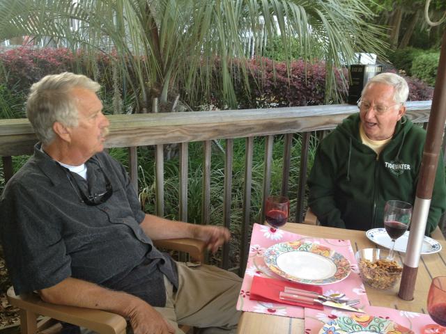 We were invited to one the pot lucks at their
covered picnic area (covered is good as it was starting to rain). We met our marina neighbors, Bob and Jane of MV Sea Flat and shared the pot luck goodies. Afterwards, they invited us for drinks on their boat. Great evening. The next day, we wqould both leave and were forced to stay on the inside as the weather would be strong out of the NE for the next 7-10 days. That's right, from the north for the next 7-10 days in late April and early May. Maybe it will change by the time we leave Charleston. We were invited to one the pot lucks at their
covered picnic area (covered is good as it was starting to rain). We met our marina neighbors, Bob and Jane of MV Sea Flat and shared the pot luck goodies. Afterwards, they invited us for drinks on their boat. Great evening. The next day, we wqould both leave and were forced to stay on the inside as the weather would be strong out of the NE for the next 7-10 days. That's right, from the north for the next 7-10 days in late April and early May. Maybe it will change by the time we leave Charleston.
|
|
28 Apr 2013, Now Heading for Charleston, 32 23.724 N/ 080 40.794 W
|
|
|
|
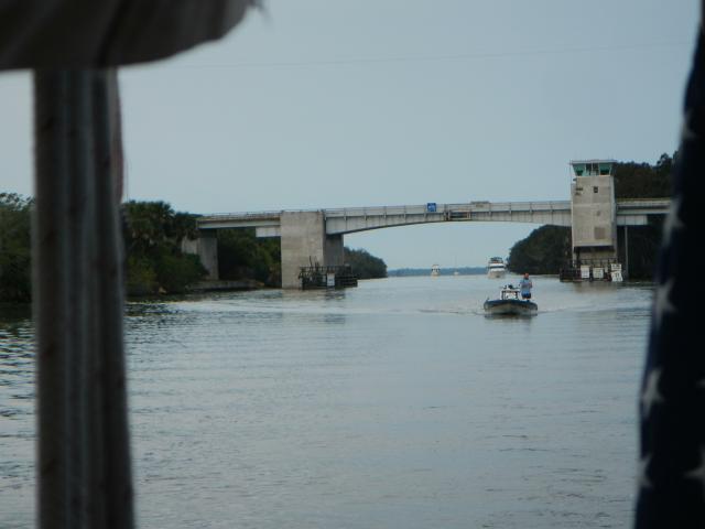 We have done this stretch of the ICW only once before; we
normally wait for an outside window. We remember it full of current,
skinny water, few anchorages, and several draw bridges. We found out
how well we remembered it. Pretty well. We had the current with us and
against us, the water was skinny but not too skinny, we made good time
so didn't need an anchorage, and the bridge tenders were pretty good.
We were fortunate to get to the Ashley River well before 1800. We saw
MV Sea Flat anchored before the Wapoo River bridge. They called on the
VHF to say hi. We have done this stretch of the ICW only once before; we
normally wait for an outside window. We remember it full of current,
skinny water, few anchorages, and several draw bridges. We found out
how well we remembered it. Pretty well. We had the current with us and
against us, the water was skinny but not too skinny, we made good time
so didn't need an anchorage, and the bridge tenders were pretty good.
We were fortunate to get to the Ashley River well before 1800. We saw
MV Sea Flat anchored before the Wapoo River bridge. They called on the
VHF to say hi.
|
|
|
Page 1
Page 2
Page 3
Page 4
Page 5
Page 6
Page 7
|
 ;
;


