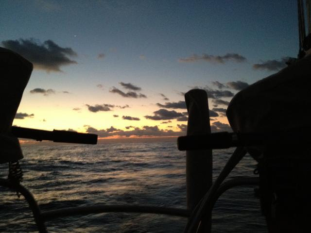
 We were finally leaving the compression zone between the
HIGH above us and the LOW east of the Caribbean. That zone was the
reason for our retreat. Seas near 4 meters (13 ft) were projected for
our original path. Seas were down to 4-5 feet but we were feeling the
effects of the Stream where our Speed over Ground (SOG) had decreased by
1.5 kts. Sammy is becoming a bit more alert but not venturing off of
her bunk. Ann is hand feeding her a bit of water but no food, We can
tell that she is quite dehydrated now by feeling her belly. By evening
the winds are NE@8-9 kts with seas down to 3-4 ft. We were finally leaving the compression zone between the
HIGH above us and the LOW east of the Caribbean. That zone was the
reason for our retreat. Seas near 4 meters (13 ft) were projected for
our original path. Seas were down to 4-5 feet but we were feeling the
effects of the Stream where our Speed over Ground (SOG) had decreased by
1.5 kts. Sammy is becoming a bit more alert but not venturing off of
her bunk. Ann is hand feeding her a bit of water but no food, We can
tell that she is quite dehydrated now by feeling her belly. By evening
the winds are NE@8-9 kts with seas down to 3-4 ft.
|
 ;
;

