|
|
|
|
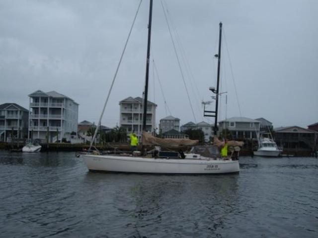 We left Mona Black for the last time (another story) at
1000 yesterday. Gene, Moe, Chris, and Bill sent us off on our way in a
light fog. Current through Snow's Cut was against us but once we
entered the Cape Fear River we had a ride. STW was 5.5 kts while SOG
was over 9 kts. Not bad. We left Mona Black for the last time (another story) at
1000 yesterday. Gene, Moe, Chris, and Bill sent us off on our way in a
light fog. Current through Snow's Cut was against us but once we
entered the Cape Fear River we had a ride. STW was 5.5 kts while SOG
was over 9 kts. Not bad.
|
|
|
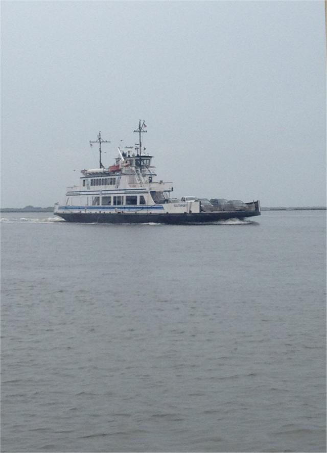 We had a traffic jam near the Fort Fischer ferry
station where a tug under tow pulled out in front of us and was moving
really slow. We had to wait about 15 minutes before he cleared us. A
little later we crossed paths with the Southport Ferry. We waved and
reminded us that we will have to renew our commuter pass when we get back. We had a traffic jam near the Fort Fischer ferry
station where a tug under tow pulled out in front of us and was moving
really slow. We had to wait about 15 minutes before he cleared us. A
little later we crossed paths with the Southport Ferry. We waved and
reminded us that we will have to renew our commuter pass when we get back.
|
|
|
|
As we left the channel of the Cape Fear inlet, we could
see our tug heading to Frying Pan shoals while we saw a sailboat ahead
of us in the distance. Later we would find out that the boat was
probably a fellow Mona Black slipholder (SV Goose). Winds are light out
of the NE with swells of 2'-3'. Our first sunset was nice to comforting
with clearing skies and almost flat seas. At 0730, we passed east of
the Charleston channel sea buoy. There was quite a bit of commercial but
we knew they saw us due to our AIS.
|
|
 ;
;


